| Share |
|
2023 |
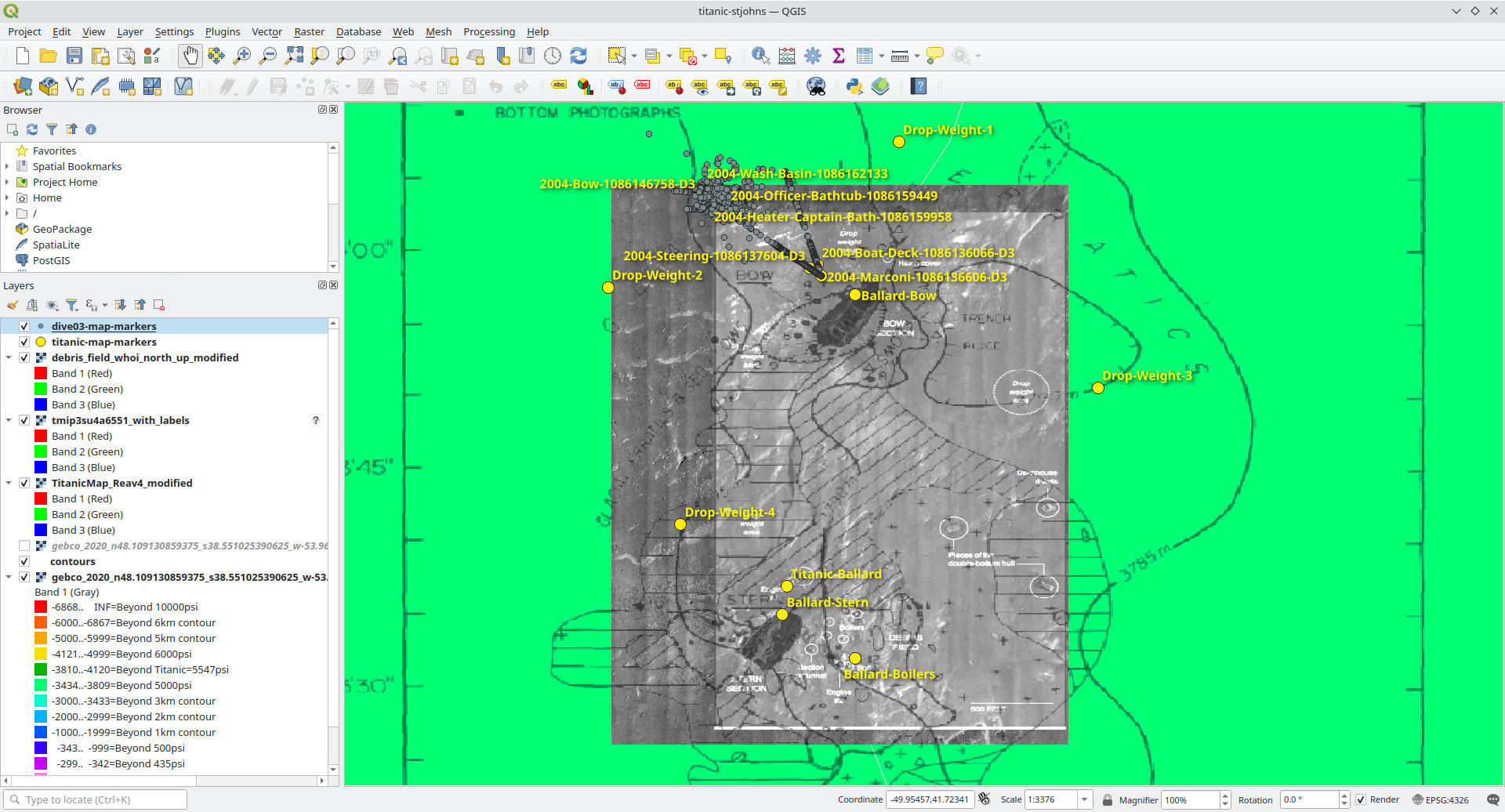
Georeferenced Titanic debris field mapThis project is an attempt to collect various online maps and scans of the Titanic wreck site and georeference them against known locations with exact lat-long coordinates. The project is open source and maintained in QGIS and the underlying maps and markers can be edited. QGIS projectThe QGIS project source is available from https://github.com/waynepiekarski/titanic-map. The underlying maps and markers are contained in the titanic-stjohns.qgs file. The project contains every public map or diagram found on the Internet circa 2022-2023, and contributions of more data are welcome. The project map can be previewed without QGIS in a web browser at https://waynepiekarski.net/projects/titanic-map/export-openlayers/ if you want to just look at the map layers and not make changes.
License
This project's QGIS files and other metadata are licensed under CC BY-SA https://creativecommons.org/licenses/by-sa/4.0/
ReferencesThe images referenced are copyrighted by their various authors and available for download at the following locations: WHOI
https://www.whoi.edu/multimedia/the-original-titanic-map/ NOAA
https://www.gc.noaa.gov/documents/2012/012512-maritime_day.pdf Encyclopedia Titanica
https://web.archive.org/web/20230630091432/https://www.encyclopedia-titanica.org/community/threads/proper-debris-field-mapping-and-where-to-find-it.52830/
Eaton and Haas
Titanic: Destination Disaster : the Legends and the Reality. John P. Eaton, Charles A. Haas, 1996. WHOI
https://www.whoi.edu/multimedia/titanic-in-a-new-light/
Unknown
https://www.reddit.com/media?url=https%3A%2F%2Fpreview.redd.it%2Ftmip3su4a6551.jpg%3Fauto%3Dwebp%26s%3D812fc300c0cb3e30cb384a7d40abf5675a973688
2010 Survey
https://web.archive.org/web/20201203103311/https://www.sunjournal.com/2012/03/09/full-titanic-wreck-site-mapped-first-time/
NOAA 2004 expedition archiveThis data contains 3D positioning coordinates from the ROV, and this data has been cleaned up and added as markers on the map. These markers are also labelled and match with the transcript of the recorded videos from the mission. Unfortunately the tracking data seems to drift so much that the positioning information is not useful. https://www.ncei.noaa.gov/maps/oer-digital-atlas/mapsOE.htm?lat=1&lng=125&zoom=7&survey=Titanic%252520Expedition%2525202004 and search for “Titanic”. It shows two missions from 2003 and 2004, and it includes extra metadata including the lat-long coordinates of each vehicle, as well as a transcript of what the vehicle was looking at. 2004 complete archive: https://www.ncei.noaa.gov/archive/archive-management-system/OAS/bin/prd/jquery/download/72311.1.1.tar.gz Hercules is the NOAA ROV, and Argus is a support vehicle that floats above holding the fiber tether. For this git repo: I removed all the surface ship and Argus data, as well as the raw sensor data for the water conditions, and just kept the 3D track and event log. |
| Share |
|
2023 |

Google Developer Advocate 2014-2023
X-Plane plugins and apps for flight simulation
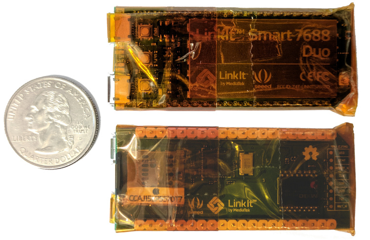
IoT water meter monitoring
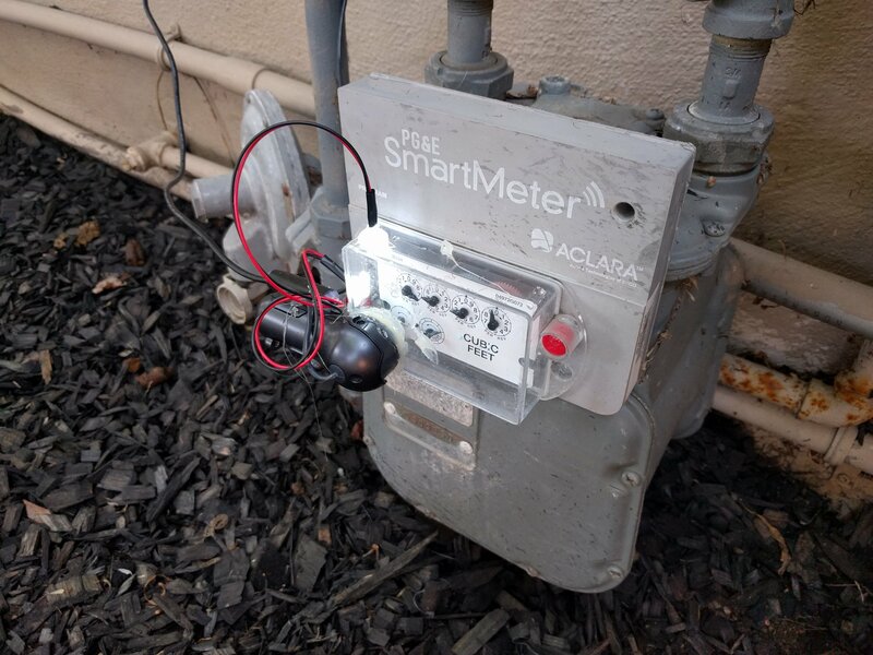
IoT computer vision monitoring
Tiny and cheap offline Wikipedia project 2017

Outdoor augmented reality research
Tinmith 1998-2007
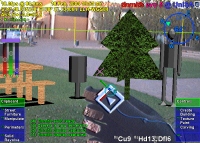
Outdoor augmented reality 3D modelling
Tinmith 1998-2007
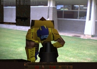
Outdoor augmented reality gaming
ARQuake 1999-2007
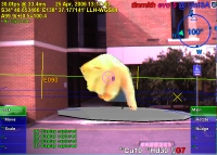
Scanned physical objects outdoors
Hand of God 3D 2006